Arapaho & Roosevelt National Forests & Pawnee Grassland
Camp the ARP!
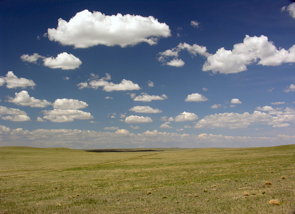
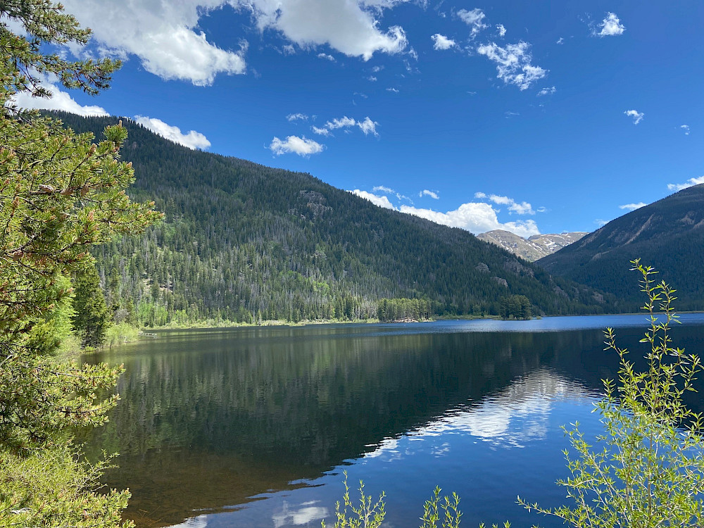
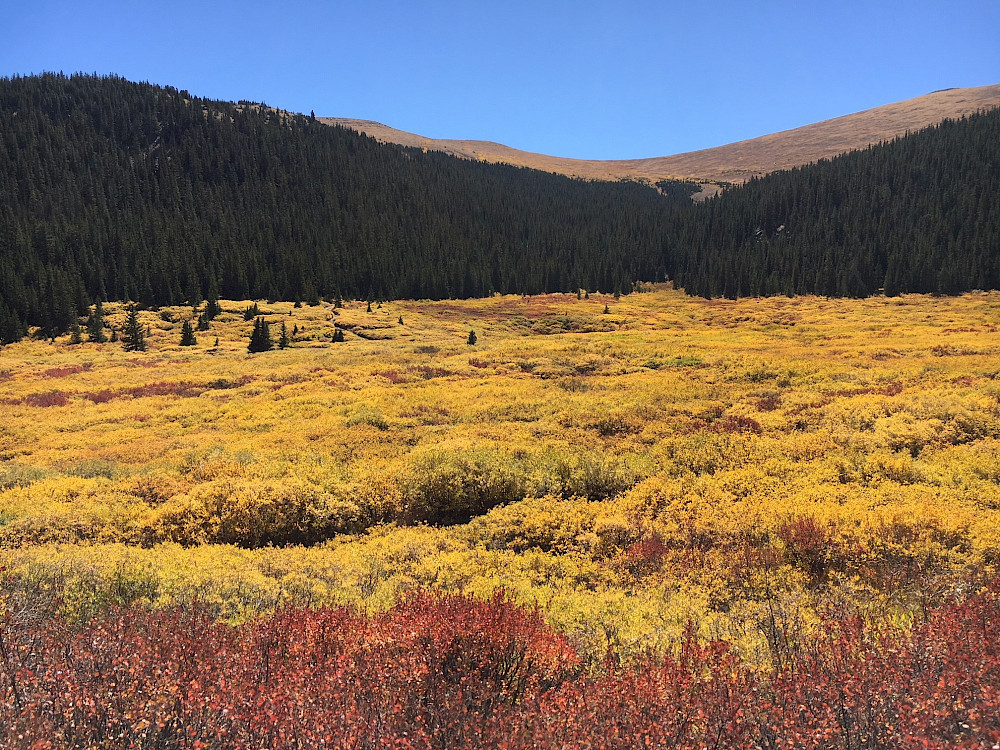
The Arapaho and Roosevelt National Forests and Pawnee National Grassland is located in north central Colorado. The forests and grassland encompasses 1.5 million acres and extends north to the Wyoming border, south of Interstate 70 to Mount Blue Sky, west across the Continental Divide to the Williams Fork area and includes short grass prairie east of I-25.
Recreational opportunities are available on the plains of the Pawnee National Grassland east of Interstate 25 in Weld County to the northern Front Range in Larimer, Boulder, Gilpin, Clear Creek and Jefferson counties to the other side of the Continental Divide in Grand County.
Testimonials
About & Forest Resources
The Arapaho and Roosevelt National Forests and Pawnee National Grassland are located in north central Colorado and encompass 1.5 million acres across five districts. Learn more about the area.
The Arapaho National Forest was established by Theodore Roosevelt on July 1, 1908. The Roosevelt National Forest, originally part of the Medicine Bow Forest Reserve, was first named the Colorado National Forest in 1910 and was renamed by President Herbert Hoover to honor President Theodore Roosevelt in 1932. The Pawnee National Grassland was transferred to the Forest Service from the Soil Conservation Service in 1954. It was designated a national grassland in 1960.